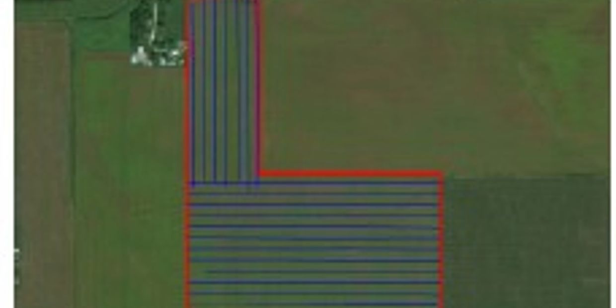
Verified Map Data
Meyer Agri-Air's As Applied Map Policy:
- Meyer Agri-Air provides As Applied maps upon request.
- Every effort will be made to obtain data. Software and hardware technology is always susceptible to errors in saving data, corrupting files, misnamed files and/or unintentional deletion.
- All map data obtained by Meyer Agri-Air, Inc. is considered proprietary data.
- Under no circumstances will raw data be released and/or published.
- All data will be inspected and signal errors corrected prior to being released and/or published.
- Released data remains the copyright property of Meyer Agri-Air, Inc. The data cannot be released to any entity or person without express permission from Meyer Agri-Air, Inc.
Our aircraft are equipped with advanced GPS mapping technology and are able to accurately track the aircraft spraying pattern throughout the field. Once spray orders are completed, our staff uploads the GPS information from the aircraft into our computer software. This enables us to provide customers with accurate as applied maps.
